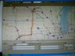
We are on our way to Minneapolis, Minnesota. This morning we had breakfast in Omaha, Nebraska, just off I-80. Being creatures of habit that meant we would continue going east as far as Des Moines, Iowa, then turn to go north up I-35 crossing into Minnesota by Albert Lea. Like so:
Me, being me, I’ve researched the life out of this route so I know where are the good places to stay and where are the ones to avoid. I also know, where all the Flying J stations are, where all the WalMart Superstores are, where all the Cracker Barrel restaurants are, etc. all along this route.
But Dave, being Dave, looked at the weather map and said, “Hmmm.”
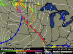
On my inquiry he said there appeared to be a storm traveling southeast across Minnesota and Iowa. It is due to go through Albert Lea this afternoon and through Des Moines tonight. The weather service has issued alerts that it could result in large hail and tornadoes.
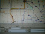
So, we turned north instead, traveling I-29 to Sioux Falls with the intention of turning east there on I-90, then returning to our familiar I-35. Thus:
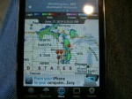
So, now we are in Sioux Falls and the weather maps look like, this:
We caught up to the trailing edge of the storm. So, we will stay in Sioux Falls, South Dakota, tonight where we were at least able to pick up our accumulating mail.
After all, hail and tornadoes trump research and familiar roads.
TTYL,
Linda

Isn’t that the truth? Tornadoes trump everything.