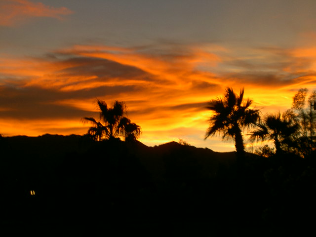
Dust storms can make for beautiful sunsets. This was taken from our campsite in Bullhead City, Arizona.
This morning was confusing. When I got up the wind was blowing and Dave was awake but still in bed. So, I was surprised that he got frustrated that I was not getting ready to depart. When I asked how I was supposed to know we were leaving he admitted he didn’t know. He’d told me the day before he wanted to go but he also said the wind was not supposed to be as strong and that’s what has kept us here. So we packed up and left about 10:30.
And went all the way to the corner. For fuel. Once again we are buying Arizona fuel before crossing back into California. It’s hot and humid from my morning shower in the RV but I don’t want to open windows while I wait for Dave to get fuel because it’s dusty enough in here.
Finally, on the road again. We both have the urge to backtrack, Dave to see some bridges we missed and me to photograph a motel but we agree we need to be moving forward so we head back to Needles, California, and right on through it following the roads Dave has listed after studying the route.
For a ways anyway. When we get to the left turn at Mountain Spring Road we see this:
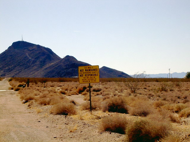
We decided not to turn there. Instead we continued down Goff Road which had Route 66 signs along it assuring us we made the right decision.
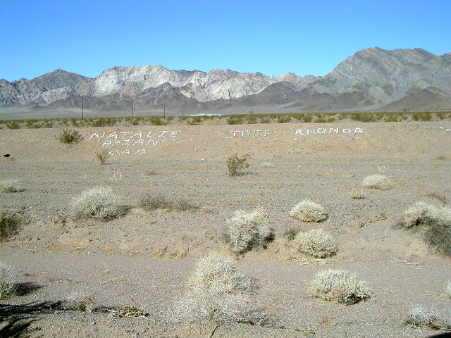
We are now driving, once again, on the National Trails Highway, a tribute to the old trails that the newer roads followed. Alongside us is a dike that channels the water to specific crossings. The local teens have developed a low impact form of graffiti here.
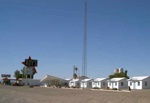
We stopped for lunch in Amboy, California, at Roy’s Motel and Cafe. In spite of the big signs, though, they no longer serve food here so we went away hungry.
Amboy also has a volcanic crater you can walk around if you have about three hours available to do so. It’s weird driving through the desert occasionally seeing volcanic rock. We don’t think of the U.S. as having volcanoes outside of Hawaii even after the eruption of Mt St Helens.
We saw a double-track double-stack piggyback train meet which was a lot more fun to say than it was to watch.
In Ludlow, California, we found a gas station with a DQ where Route 66 crosses I-40. It was doing a booming business. Apparently we aren’t the only ones who need sustenance along this empty stretch of road.
This section of Route 66 is frontage road for the freeway but there is nothing alongside it so it is not maintained. The pavement is so rough Dave is driving with one wheel, and sometimes both, on the gravel shoulder. The fact that the gravel shoulder provides a smoother ride than the pavement should give you some idea of the number of cracks and holes in this road. Dave was driving 15 m.p.h. and still we were jerking around so much my seat belt engaged so I couldn’t lean forward. So, when we found another freeway entrance ramp at Hector Road, we abandoned Route 66 as I gave a huge sigh of relief. That stretch wore me out and I wasn’t even driving!
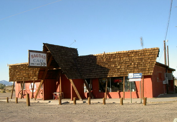
We were back on a better stretch of Route 66 pavement when we entered Newberry Springs, California, where we saw the Bagdad Cafe, another famous place no longer serving food.
Then we turned north headed for the Twin Lakes RV Park. Wow! No wind noise. No highway noise. Shade trees. Ponds. What a difference from the last few campgrounds. If the ducks and geese here sleep well, I should, too.
TTYL,
Linda